Empowering 3D Worksite Models with Point Cloud and Drone Data
November 22, 2022

Unlocking the Power of Georeferenced Data in 3D Models
In the realm of 3D modeling, the true value lies in the georeferenced data. Geo-referencing ties a digital map to a known coordinate system, enabling users to pinpoint the physical location of every spot on the map. Without these coordinates, the ability to reference specific points when juxtaposed with other data becomes an insurmountable challenge.

When an entire project team shares a common pool of georeferenced points on their digital worksite map or model, a harmonious alignment is achieved. This shared location data empowers informed decision-making throughout the project.
The foundation of georeferenced layers rests upon point clouds, and in this discussion, we will delve into the essence of a point cloud and explore how drone data seamlessly integrates with it to construct a comprehensive 3D worksite model.
Understanding Point Clouds
A point cloud represents a collection of data points, ranging from thousands to millions, within a 3D coordinate framework. Each data point denotes a specific position in space, and the density of these points directly correlates with the accuracy of the representation. Typically, survey-grade point clouds maintain a distance of 2–3mm between any two points and are generated using technologies like lidar or photogrammetry.
Of the two primary methods for creating point clouds, lidar scanning and photogrammetry, the latter offers a more cost-effective approach. Photogrammetry entails hardware and software that are considerably more budget-friendly than their lidar counterparts. Furthermore, photogrammetry yields point clouds with sufficient accuracy for 99% of sitework and mining applications, requiring minimal training for proficient drone data capture.
Point Clouds in the Worksite Context
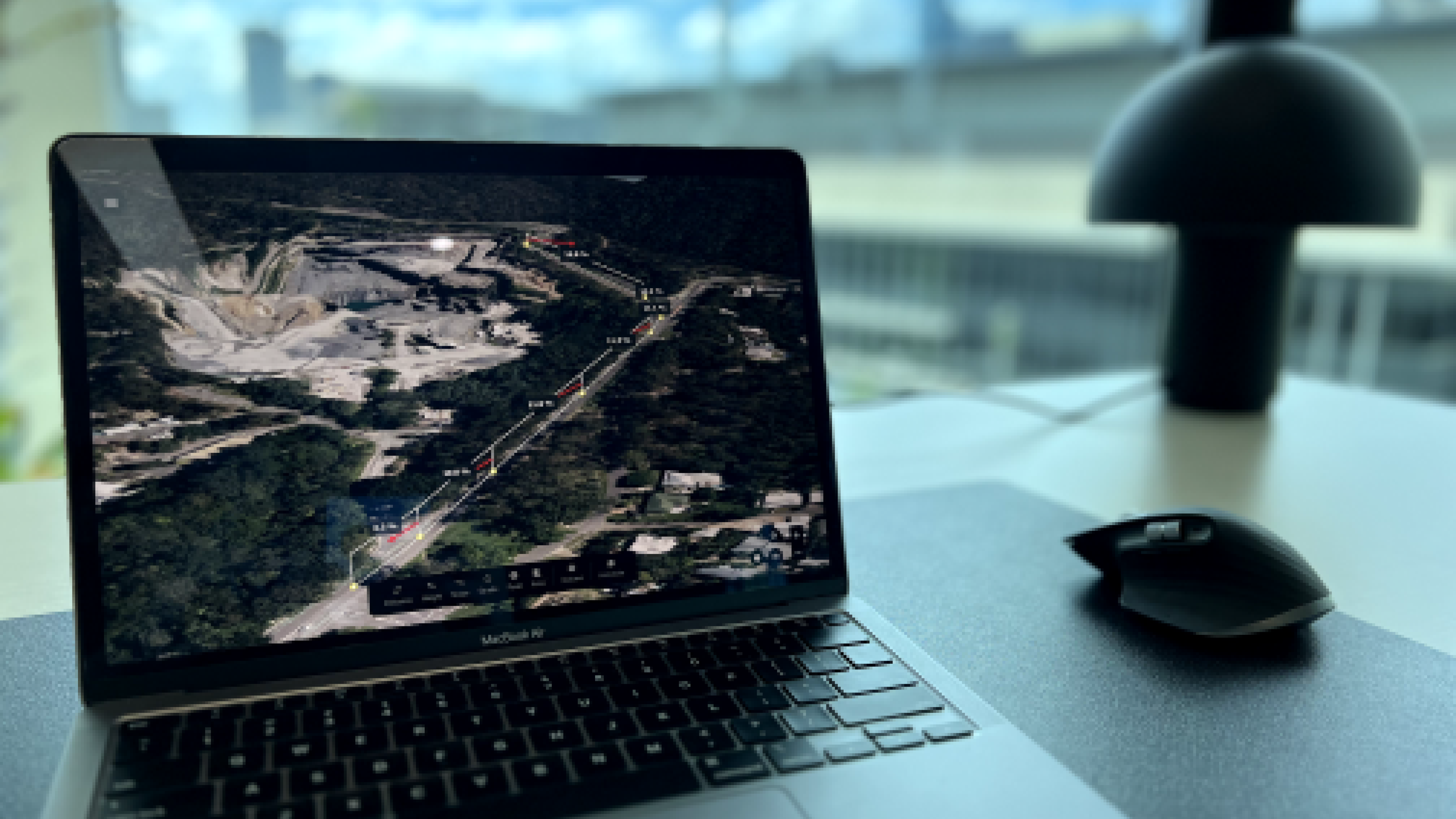
Point clouds offer the ability to make observations and measurements regarding a worksite's depth, elevation, and location. They serve as the foundational data source for overlaying aerial imagery derived from drone surveys. With a set of data points aligned with a coordinate reference system, you can meticulously document site conditions at critical junctures in the project timeline, tracking material movement and project progress.
Project teams may opt to use raw point cloud data when desiring an unfiltered view of terrain data or when sharing the entire 3D site condition with external stakeholders. Additionally, working with point cloud data proves more manageable than dealing with voluminous 3D surfaces in CAD/GIS programs due to more reasonable file sizes, as full-resolution 3D surfaces tend to be substantial.
The Fusion of Drone Survey Data and Point Clouds into 3D Models
While point clouds serve as the raw output, the ultimate output materializes as an interactive 3D model embellished with real-world imagery. This composite creation melds an orthophoto (an amalgamation of multiple overlapped and stitched images) with a digital terrain model (DTM). During a drone survey, distinct features captured in multiple images are identified. Leveraging the camera sensor's location, the precise measurement of each feature's position within an image becomes feasible.
To establish coordinates for distinct points extracted from drone imagery, each point must appear in two images with known positions. As each known point characterizes a specific feature, an abundance of these points equates to a point cloud that closely mirrors real-world topography, offering an invaluable resource for comprehensive 3D modeling.
The decisions are upto you to build a digital infrastructure with industry experts - that have both knowledge of geospatial and software development! Try it now! https://scout.spacesium.com/create-account